


Comprehensive Studies for Ecological Compatibility
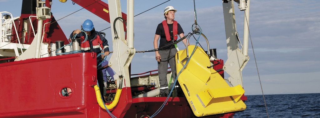
Nord Stream, with the help of independent companies, conducted a vast number of studies of the Baltic Sea. The studies helped to define the pipeline’s technical design and optimum route in order to keep environmental impacts to an absolute minimum during construction.
Nord Stream invested more than 100 million euros in environmental impact studies and environmental planning to ensure that the design and routing of the pipeline is safe and environmentally sound. Reputable independent contractors from Sweden, Russia, Germany, Norway, Finland and Denmark carried out seabed surveys and related research. Industry leader Saipem Energy Services (formerly Snamprogetti, Italy) delivered the detailed technical design.
Research Covered a Broad Range of Topics
The research conducted for the Nord Stream Pipeline covers three broad areas. First is the physical environment, meaning the seabed, the water column and the atmosphere. For example, the geological engineering survey covered more than 40,000 kilometres over the course of four campaigns, including 6,400 kilometres of gradiometer surveying. Second is the biological environment, such as marine, plant and animal life, and nature conservation areas. Environmental field studies included analysis of more than 1,000 water and soil samples collected from 96 monitoring stations as well as the observation of the behaviour of fish, marine mammals and birds from 77 monitoring stations. The third area of research focused on the socioeconomic environment, which includes fisheries, shipping and navigation, tourism and recreation, maritime cultural heritage, military operations and offshore industries, such as wind parks.
The research thoroughly investigated the potential impacts on these three areas from planned activities, such as construction, and from unlikely unplanned events, such as pipeline damage or accidental munitions detonations. In all cases, the assessment in the planning process looked first at how likely an occurrence was; second, at how harmful it might be; and, finally, at how any effects could be mitigated, or even completely avoided, during the planning process. The research showed that the majority of possible effects from construction were deemed insignificant, and of those that could be significant, Nord Stream was able to mitigate the risks at the planning stage. The safety and risk assessment of the Nord Stream project was indepently verified by the experts of Det Norske Veritas.
Environmental Effects from Construction Were Temporary
The "significance" of a potential impact is assessed in terms of various factors. These are its source; its duration; the physical range that it covers; its intensity, considering the value and sensitivity of the environment where the impact occurs; and finally, the effects of measures taken to minimise or avoid that impact. No impact from the Nord Stream project was categorised as "major" or "high" by the independent suppliers who carried out the assessments.
Surveys Conducted
|
2005-2006 |
Comprehensive field studies were undertaken in order to assess oceanography, water, bottom sediments, biological issues and other elements. The field studies focused on areas potentially affected by Nord Stream’s development. |
|
2005-2006 |
The first geophysical survey was a detailed screening of Nord Stream’s provisional route, conducted to check the condition of the seabed across a two-kilometre corridor and to look for obstacles such as wrecks, large boulders and trenches. |
|
2007-2008 |
A major offshore geophysical survey was conducted to confirm the planned route and meticulously screen the entire corridor for munitions and other objects that could be of danger to pipeline installation. |
|
2007-2008 |
Route optimisation surveys followed requests from the Danish and Finnish authorities. The survey results were presented in late May 2008 and they facilitated a decision in favour of the so-called S-Route, which runs south of the Danish island of Bornholm. |